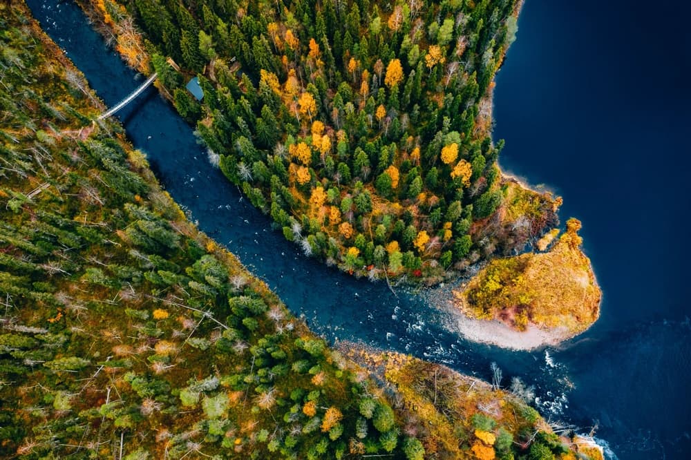
Case 01 / Environment and hydrology
Geomorphological analysis of riverbeds using point clouds
Automatic characterisation of terrain in riverbeds and floodable zones
From a point cloud of the fluvial environment, VL3D++ enables automatic classification of the terrain and its geomorphological variations along the watercourse, including riverbeds